Geophysics
NCKRI often employs near-surface geophysical tools in its investigations of caves and karst features. Our personnel collectively have over 25 years of experience in the use of a variety of geophysical methods. Geophysical tools we have used include microgravity, ground-penetrating radar, and electrical resistivity. NCKRI personnel have also provided support for surveys using seismic refraction, side-scan sonar, hydrothermal, thermal infrared, and electromagnetic methods. We supplement our geophysical surveys with surface geological mapping, cave exploration, and groundwater investigations to provide ground truth to support our geophysical interpretations.
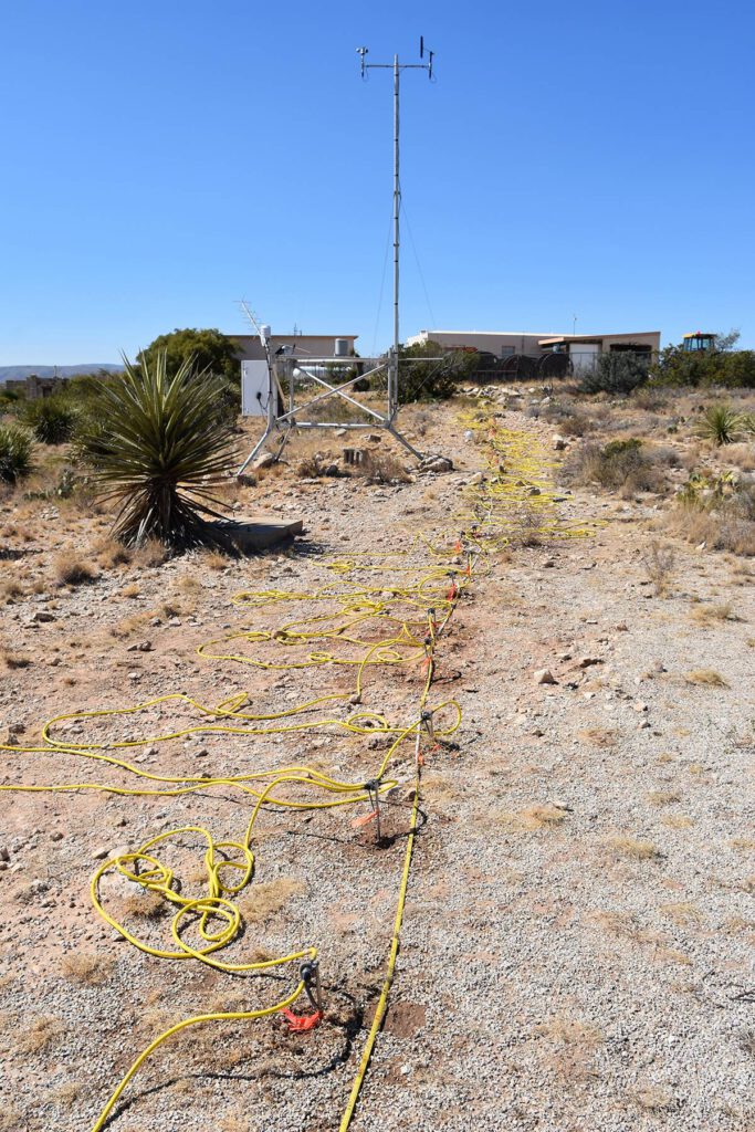
Our principal tool at hand consists of an AGI SuperSting™ electrical resistivity package with 112 electrodes and 700 meters of cable, permitting maximum exploration depths greater than 200 meters below ground level. The basic procedure involves generating a direct current between two metal electrodes (stainless steel stakes) implanted in the ground while measuring the ground voltage between two other implanted electrodes. Given the current flow and voltage drop between the electrodes, differences in subsurface electrical resistivity can be determined and mapped.
Resistivity profiles illustrate vertical and lateral variations in subsurface resistivity. The presence or absence of electrically conductive water or water-saturated soil or bedrock is one of the most significant factors influencing the results of an electrical resistivity survey. Air or water-filled caves are easy to identify and will display as zones of higher or lower resistivity relative to the surrounding bedrock. NCKRI has conducted electrical resistivity surveys in many diverse geologic settings—including in caves!

An electrical resistivity array surveys for cavities that might impact nearby buildings. Photo courtesy: NCKRI Staff George Veni. 
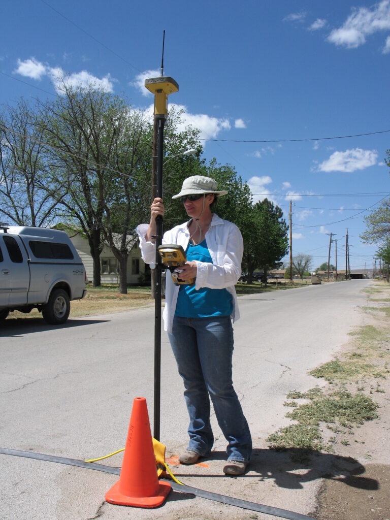
Dianne Joop conducts a high-precision GPS survey as part of a NCKRI geophysical study. Photo courtesy: NCKRI Staff George Veni.